The Wicklow Mountains
The Wicklow Gap and Lough Tay
By Find a Drive, first shared in October 2026
- Distance
- 47.6 mi
- Driving time
- 1h 11m
- Climbing
- 3,510 ft
- Highest point
- 1,621 ft
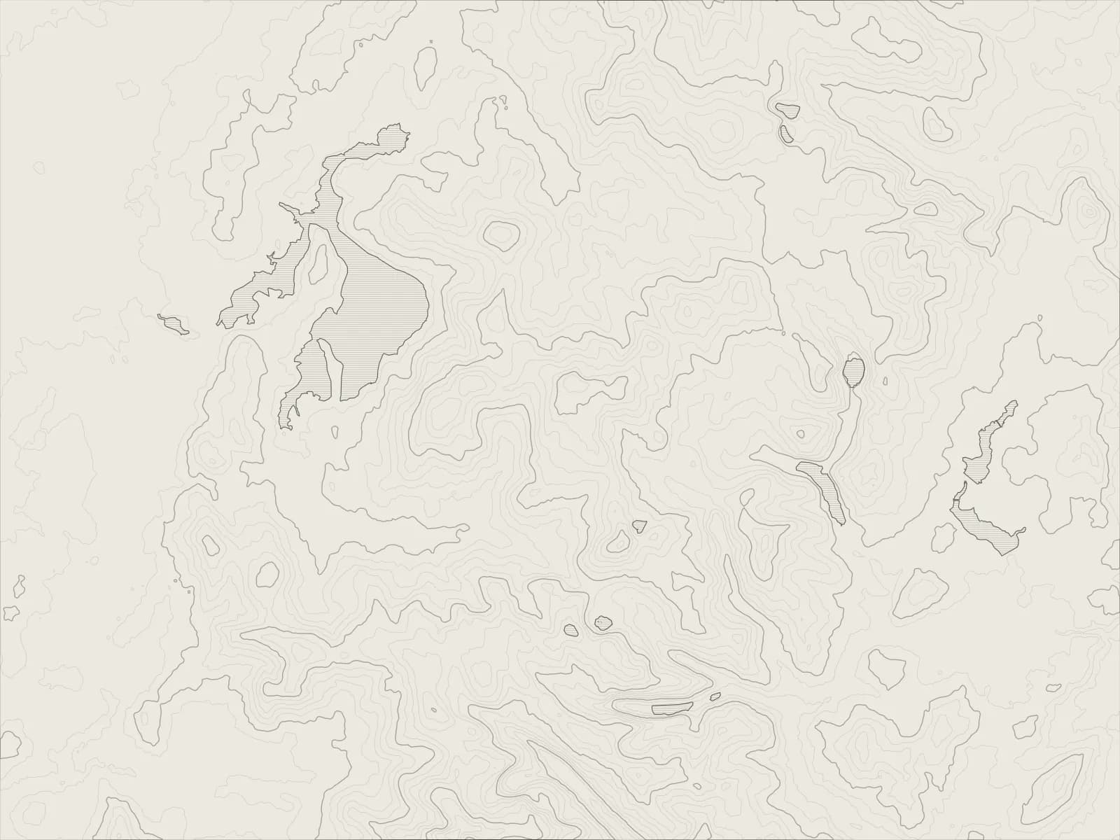
The whole drive, start to finish.Contours from open elevation data. Route © OpenStreetMap contributors.
A loop through the heart of the Wicklow Mountains from Blessington: over the Wicklow Gap to Glendalough, north to the dark water of Lough Tay, and back across the bog by the Sally Gap.
The drive
From Blessington the road heads south to Hollywood, then turns into the hills on the R756. It climbs steadily to the Wicklow Gap, with the reservoir on top of Turlough Hill off to one side, and drops down the far side past old lead mine workings to Glendalough.
From Laragh the R755 runs north to Roundwood, which calls itself Ireland's highest village, and the R759 climbs into the hills. Lough Tay lies below the road in a deep bowl, its water dark with peat and its little beach almost white, which is why it's called the Guinness Lake.
At the Sally Gap the road crosses the old Military Road, and the R759 carries on west across the bog and down to the Blessington Lakes, a reservoir the lanes follow back into town.
Worth knowing
- Lough Tay is on a private estate, so the view from the road is the thing.
- The Wicklow Gap and the Sally Gap are high and exposed, and both close in snow.
- Glendalough is busy at weekends. Go early, or late.
- Sheep wander across the open roads on the tops. Give them the time they need.
Plan your own.
Find a Drive is still being built. Get an early invite to plan, keep and share drives of your own.