Wester Ross
Bealach na Bà and the Applecross coast
By Find a Drive, first shared in November 2026
- Distance
- 61.2 mi
- Driving time
- 1h 19m
- Climbing
- 5,217 ft
- Highest point
- 2,041 ft
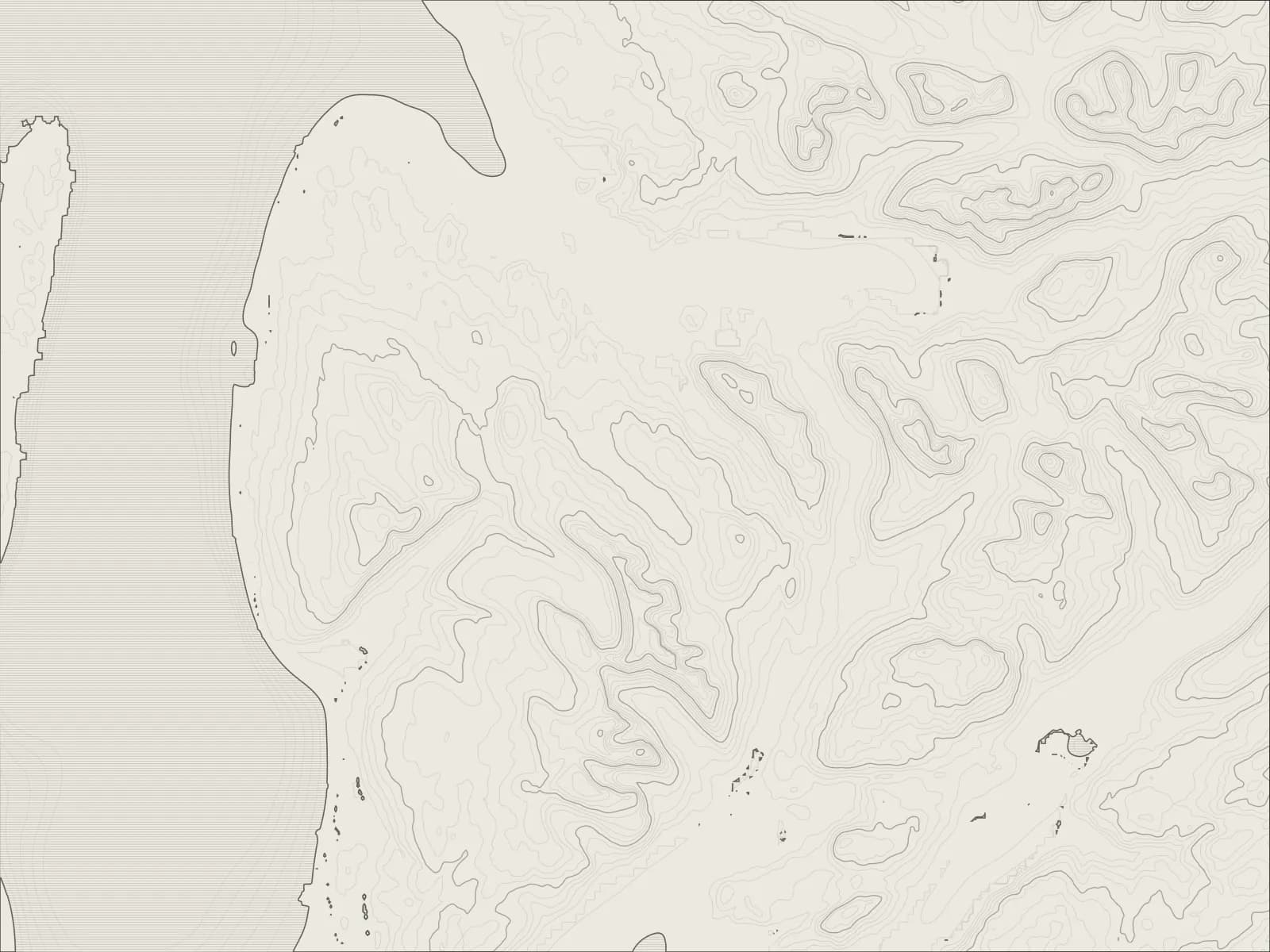
The whole drive, start to finish.Contours from open elevation data. Route © OpenStreetMap contributors.
Over the Bealach na Bà, the biggest climb of any road in Britain, from the sea at Loch Kishorn to 2,054 feet and down to Applecross; then round the coast to Shieldaig on Loch Torridon, and back over the hills to Lochcarron.
The drive
From Lochcarron the road runs round Loch Kishorn to Tornapress, where the Bealach na Bà begins, with a sign warning learners and caravans off it. It climbs from the sea to 2,054 feet, at 20% in places, with hairpins near the top that look borrowed from the Alps.
From the top, on a clear day, Skye and the Cuillin are across the water. The road drops more gently to Applecross, a row of cottages on a sandy bay, with an inn.
Until the 1970s the pass was the only road in. Now a single track road runs north round the coast, past crofts and empty beaches with Raasay and Skye across the sound, then turns along Loch Torridon to Shieldaig, its island of pines just offshore. The A896 brings you back over the hills to Loch Kishorn and Lochcarron.
Worth knowing
- The pass is single track, with passing places, and closes in snow and ice. It's no place for learners, caravans or anything long, as the sign at the bottom says.
- Take the hairpins near the top slowly: they're tight, and there's often someone coming the other way.
- The coast road is single track too, and longer than it looks on the map.
- Fill up at Lochcarron before you set off.
Plan your own.
Find a Drive is still being built. Get an early invite to plan, keep and share drives of your own.