The Peak District
The Snake and Woodhead Passes
By Find a Drive, first shared in November 2026
- Distance
- 43.3 mi
- Driving time
- 57m
- Climbing
- 3,707 ft
- Highest point
- 1,667 ft
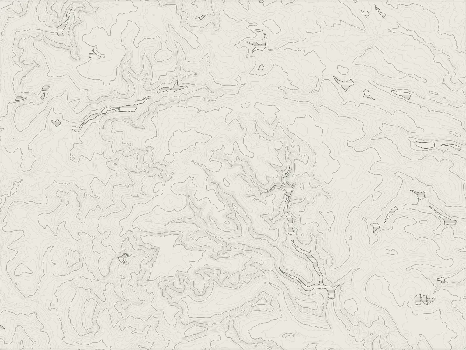
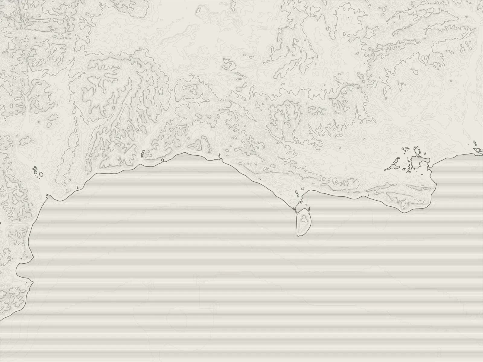
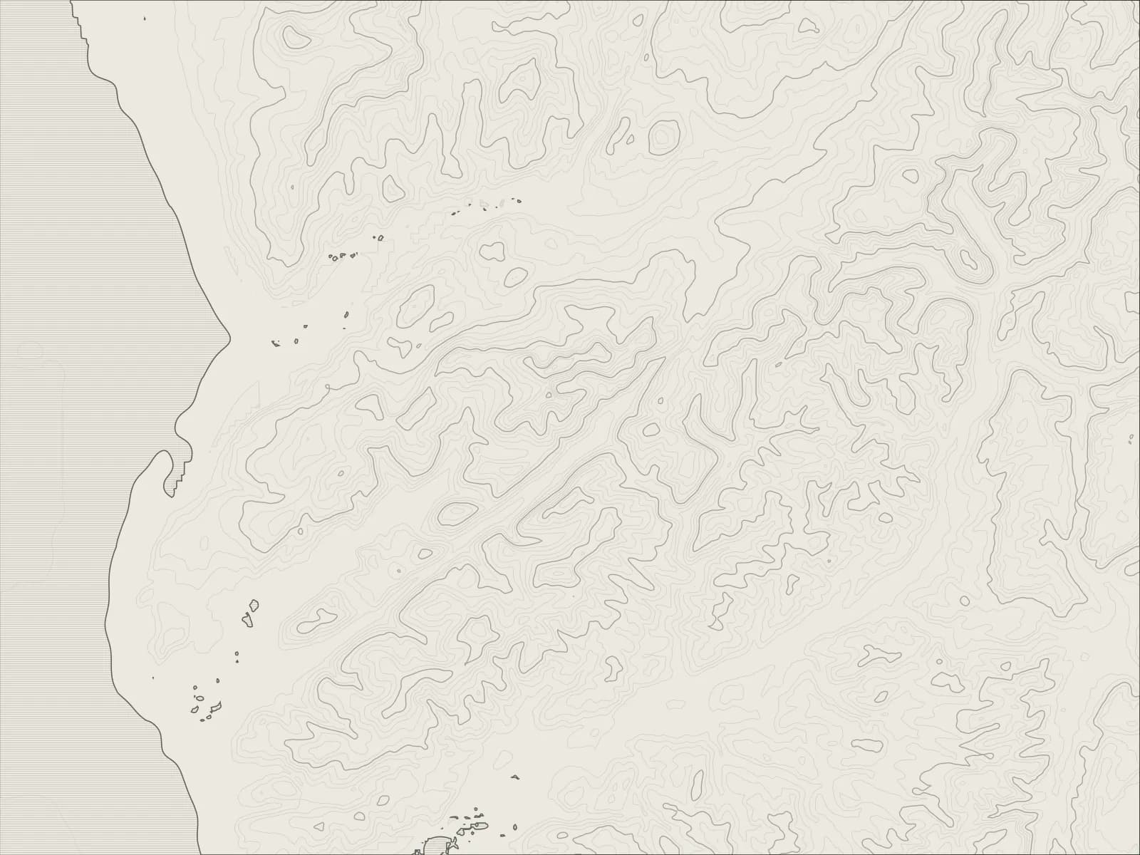
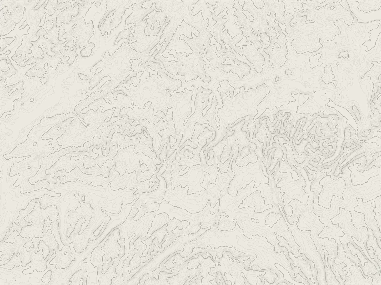
The whole drive, start to finish.Contours from open elevation data. Route © OpenStreetMap contributors.
Over the Snake Pass from Glossop to the Ladybower Reservoir, north over the moors on the Strines road to Langsett, then back over the Woodhead Pass, down Longdendale past its chain of reservoirs to Glossop.
The drive
The A57 climbs out of Glossop and over the Snake Pass, Thomas Telford's road of 1821, across peat bog more than 1,600 feet up, then winds down the Woodlands valley past the Snake Pass Inn to the Ladybower Reservoir.
Ladybower was filled in the 1940s, drowning the villages of Ashopton and Derwent, and it was over the reservoirs here that the Dambusters practised. From Ladybower a narrow road climbs north over the moors, past the Strines Inn, to Langsett.
The Woodhead Pass takes the A628 back west over the top of the Pennines and down Longdendale, past a chain of reservoirs built for Manchester in the nineteenth century, to Tintwistle and Glossop.
Worth knowing
- The Snake Pass closes in snow, and after landslips: check before you go in winter.
- The Woodhead is a lorry route between Manchester and Sheffield, and busy at the times you'd expect.
- The Strines road is narrow, with steep dips and sheep on it.
Plan your own.
Find a Drive is still being built. Get an early invite to plan, keep and share drives of your own.