The Yorkshire Dales
Dentdale and the Coal Road
By Find a Drive, first shared in October 2026
- Distance
- 27.9 mi
- Driving time
- 37m
- Climbing
- 2,428 ft
- Highest point
- 1,752 ft
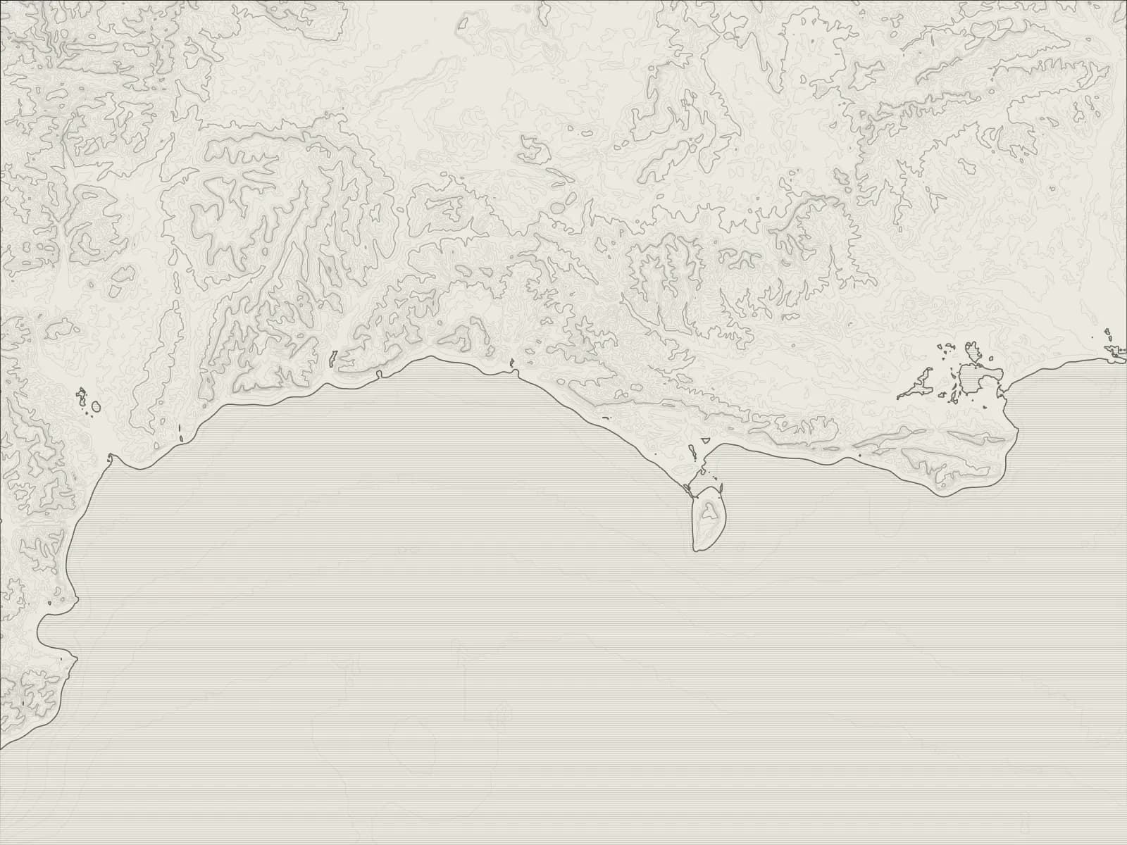
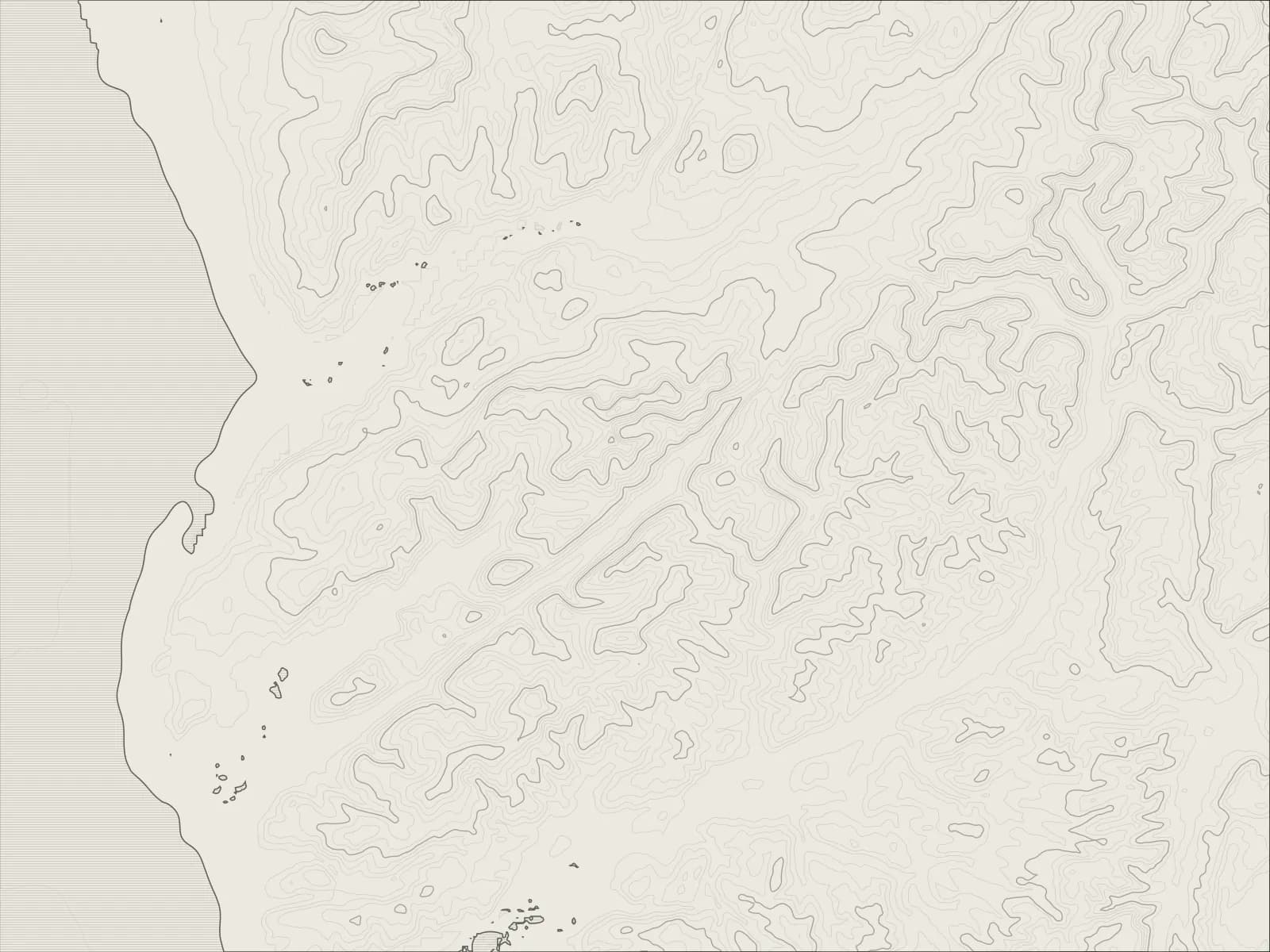
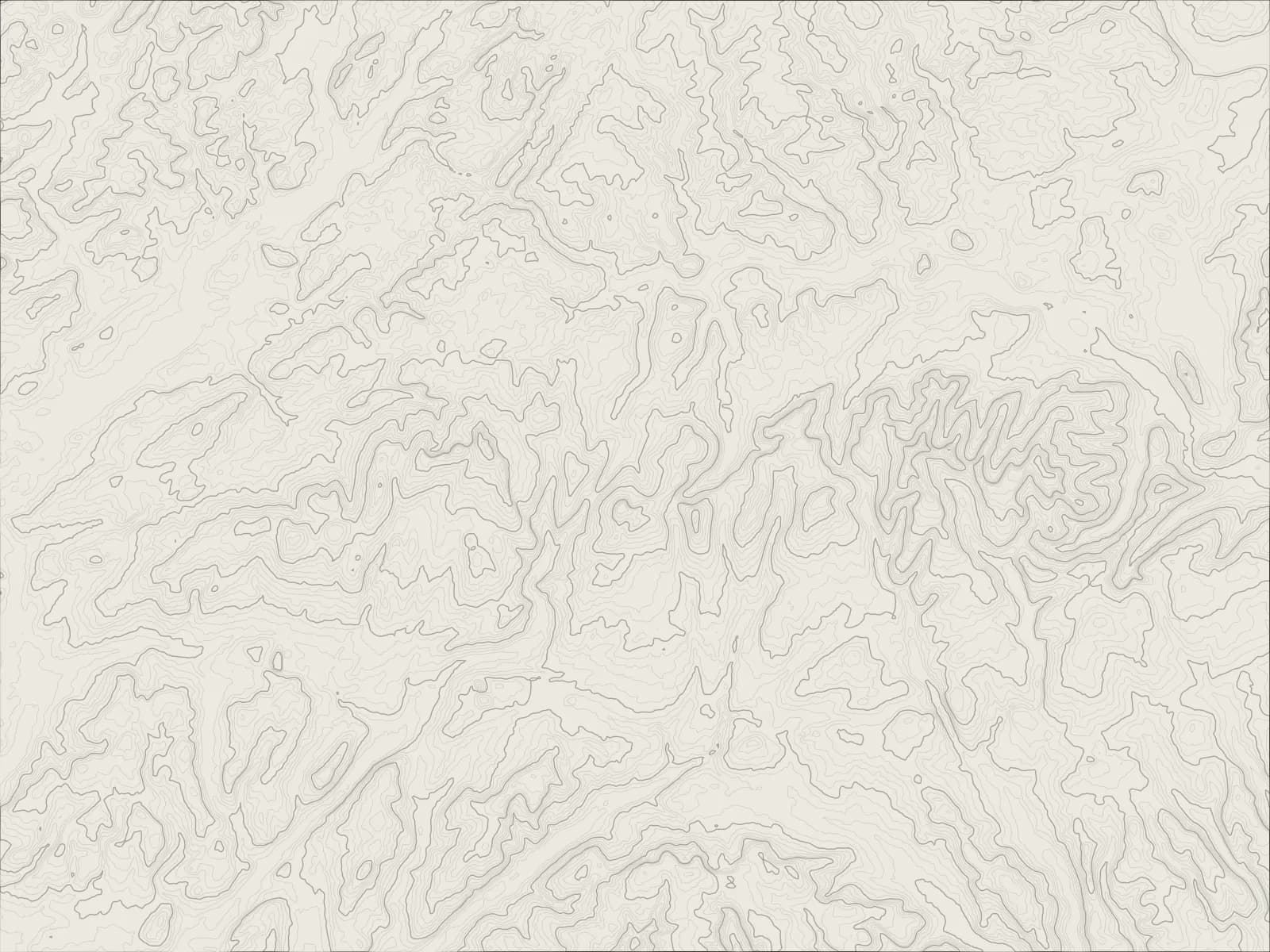
The whole drive, start to finish.Contours from open elevation data. Route © OpenStreetMap contributors.
From Kirkby Lonsdale through Barbondale to the cobbled village of Dent, up the dale to England's highest main line station, over the Coal Road to Garsdale Head and down Garsdale to Sedbergh.
The drive
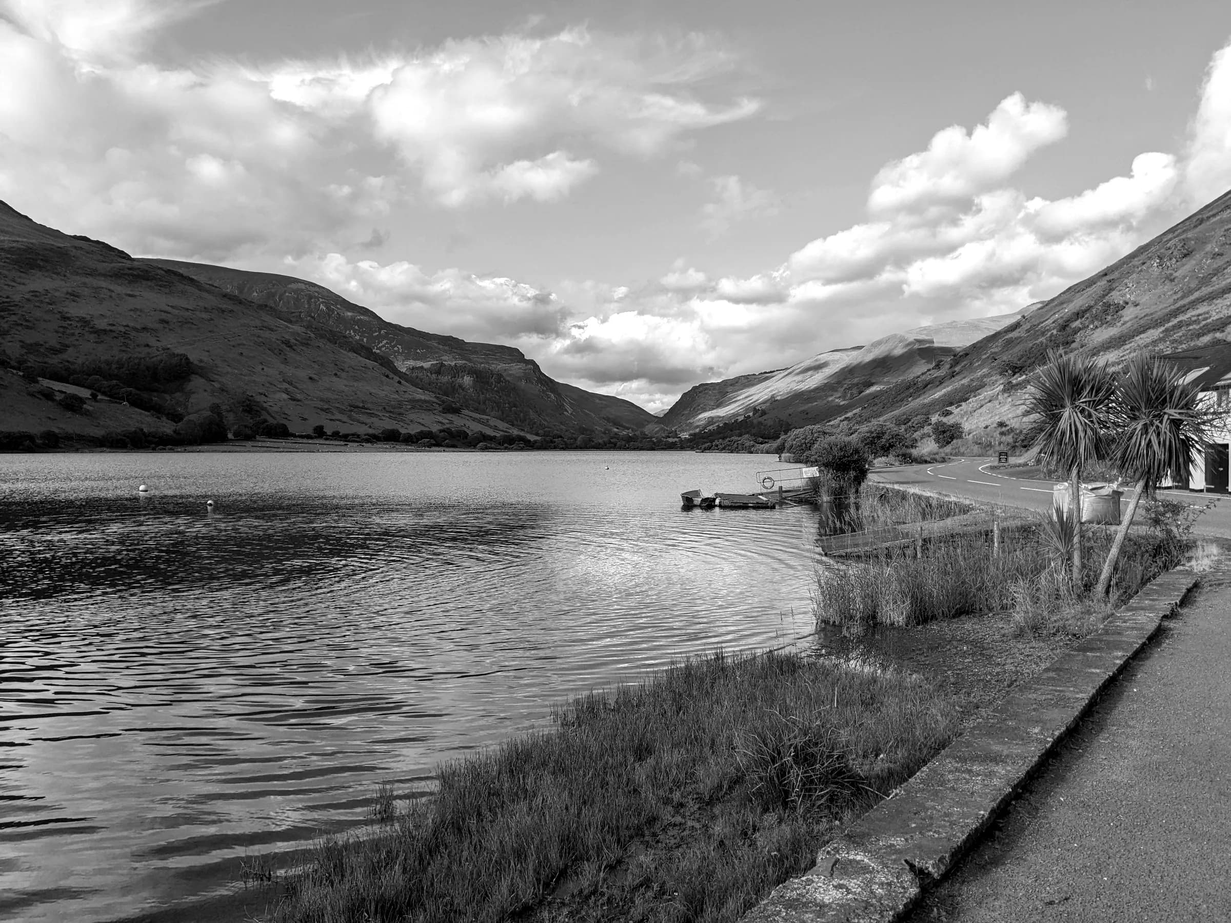
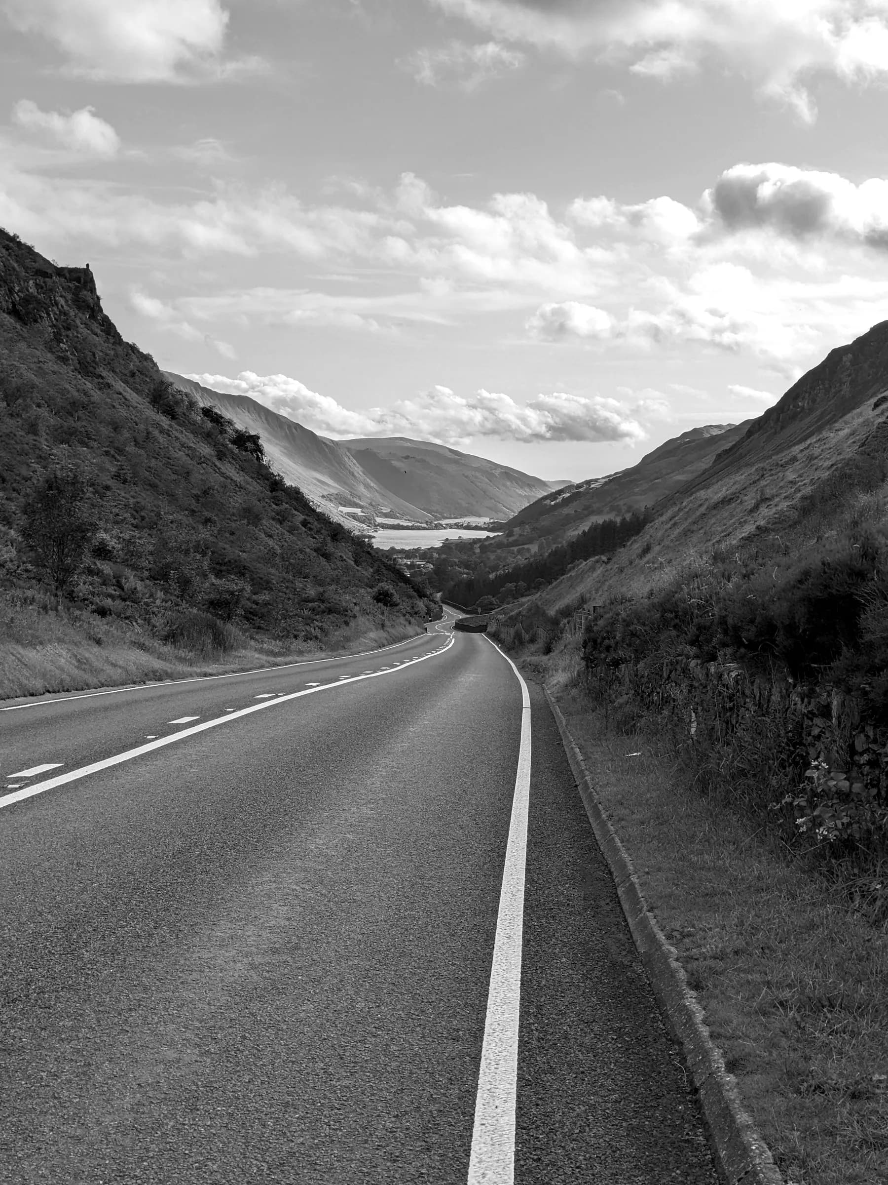
From Kirkby Lonsdale the road runs north to Barbon, then turns up Barbondale, a narrow valley that follows the line of the Dent Fault between the fells, and drops into Dentdale.
Dent is a village of cobbled streets and whitewashed cottages, with a fountain to Adam Sedgwick, the geologist, who was born here. Beyond it the road follows the river up the dale and climbs to Dent station, on the Settle to Carlisle line: the highest main line station in England, four miles from the village it's named after.
From the station the Coal Road climbs over the open moor, past the old pits it's named after, to Garsdale Head, and the A684 runs down Garsdale to Sedbergh, which calls itself England's book town.
Worth knowing
- Barbondale and the Coal Road are narrow and unfenced, with sheep on them, and the Coal Road is steep near the station.
- The Coal Road climbs high onto the moor, and it closes in snow.
- Dent's streets are narrow and cobbled, so leave the car in the car park as you come in.
Plan your own.
Find a Drive is still being built. Get an early invite to plan, keep and share drives of your own.