Wester Ross
Gruinard Bay and An Teallach
By Find a Drive, first shared in November 2026
- Distance
- 45.4 mi
- Driving time
- 58m
- Climbing
- 3,346 ft
- Highest point
- 1,106 ft
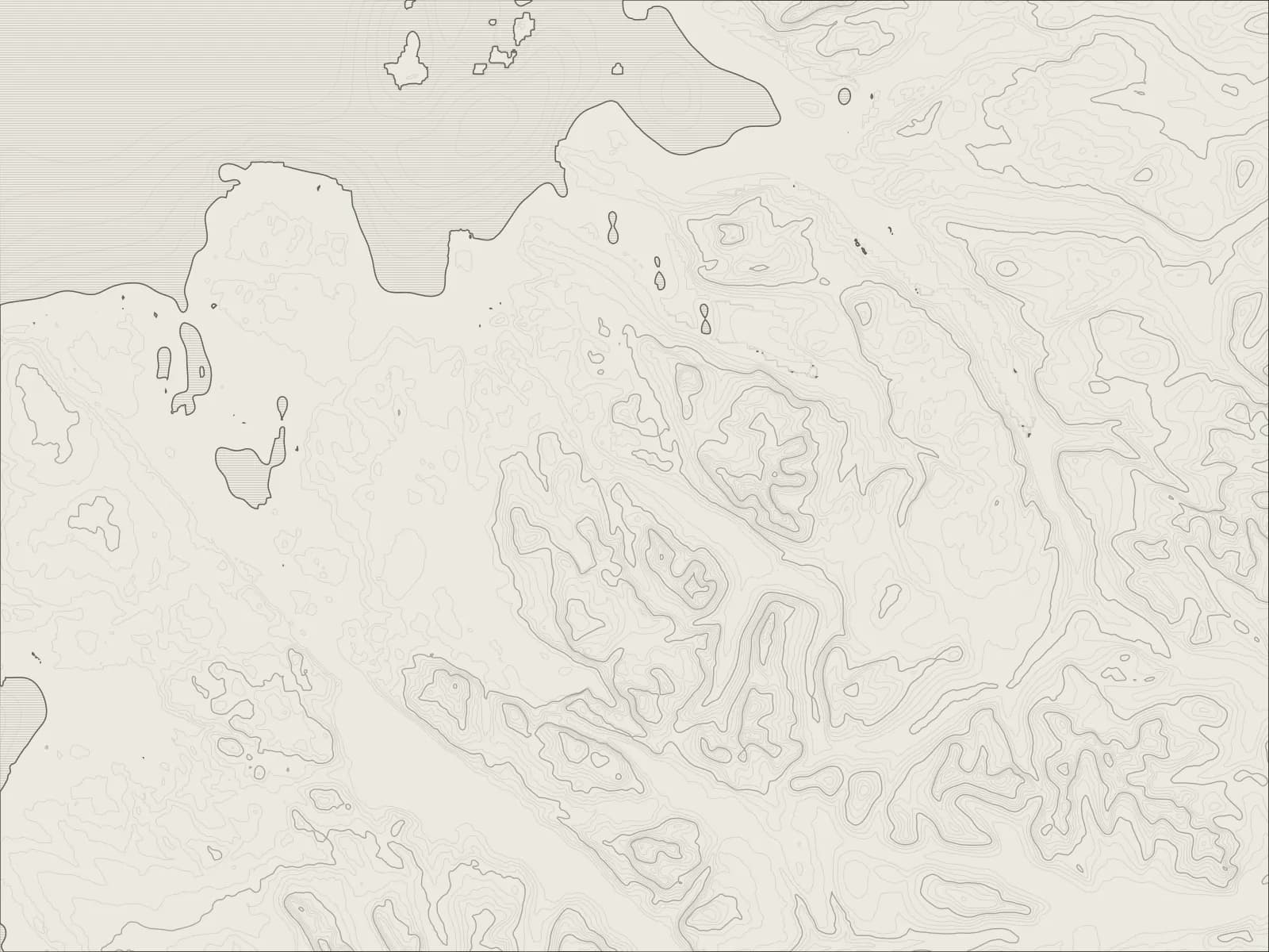
The whole drive, start to finish.Contours from open elevation data. Route © OpenStreetMap contributors.
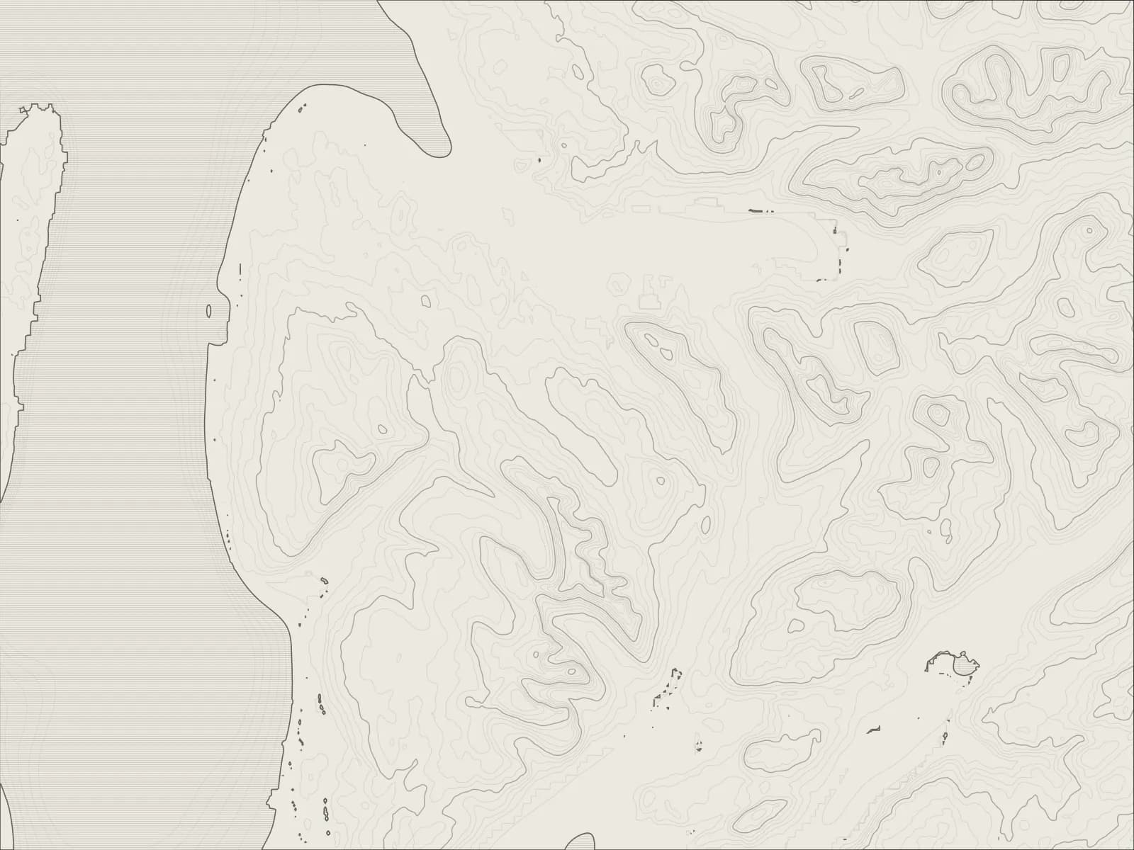
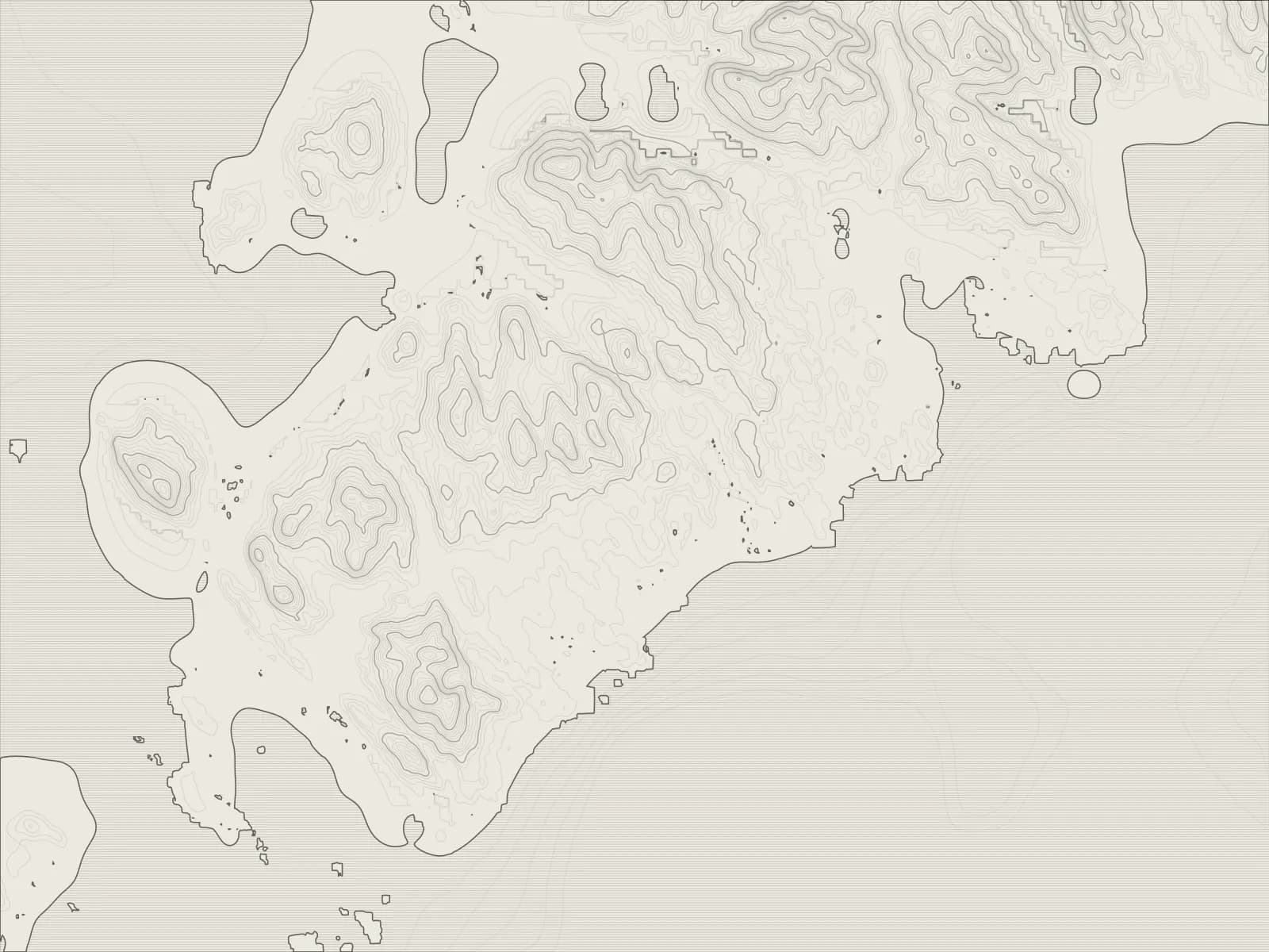
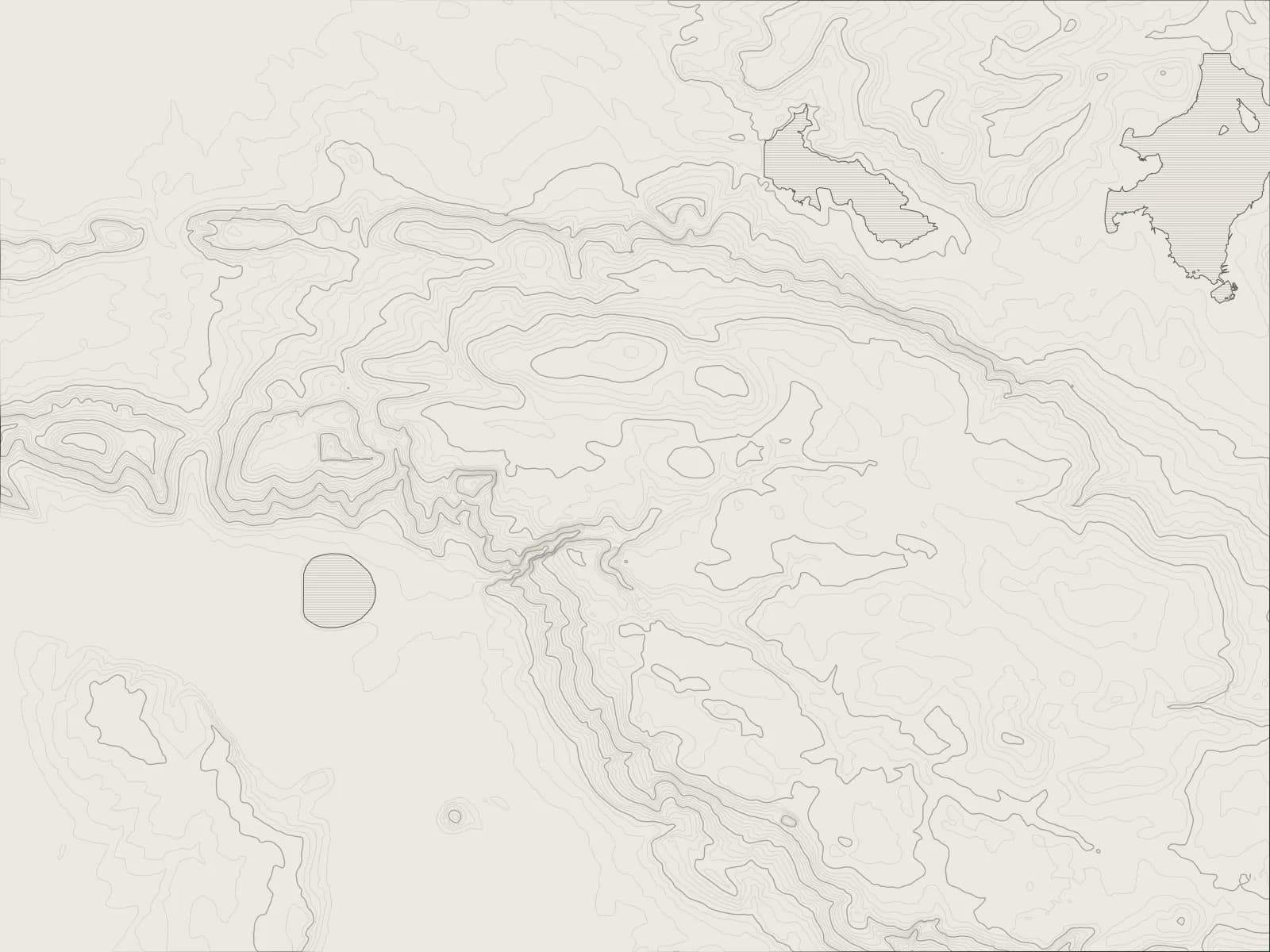
Along the A832 from Gairloch, past the garden at Inverewe and round the sands of Gruinard Bay, then under An Teallach to Dundonnell, and over the Destitution Road to the gorge at Corrieshalloch.
The drive
From Gairloch the road crosses to Poolewe, where Osgood Mackenzie began the garden at Inverewe in 1862 on a bare, windswept headland. Warmed by the Gulf Stream, it grows things that have no business this far north.
North of Aultbea the road tops a rise and there's Gruinard Bay below, its beaches pink with sandstone, and then it runs round Little Loch Broom beneath An Teallach, the forge: one of the finest mountains in Scotland, and it looks it.
Beyond Dundonnell the road climbs onto the moor. It's the Destitution Road, built in the potato famine of the 1840s to give the starving work, and it comes down at Braemore, where the Falls of Measach drop into the gorge of Corrieshalloch beneath a Victorian suspension bridge.
Worth knowing
- The road narrows in places, and there are deer on it at dusk.
- Inverewe Garden is the National Trust for Scotland's, with a café.
- The car park for Corrieshalloch Gorge is by Braemore Junction, where the road meets the A835, and the bridge is a short walk down through the trees.
- Fill up at Gairloch: there's little else until Ullapool.
Plan your own.
Find a Drive is still being built. Get an early invite to plan, keep and share drives of your own.