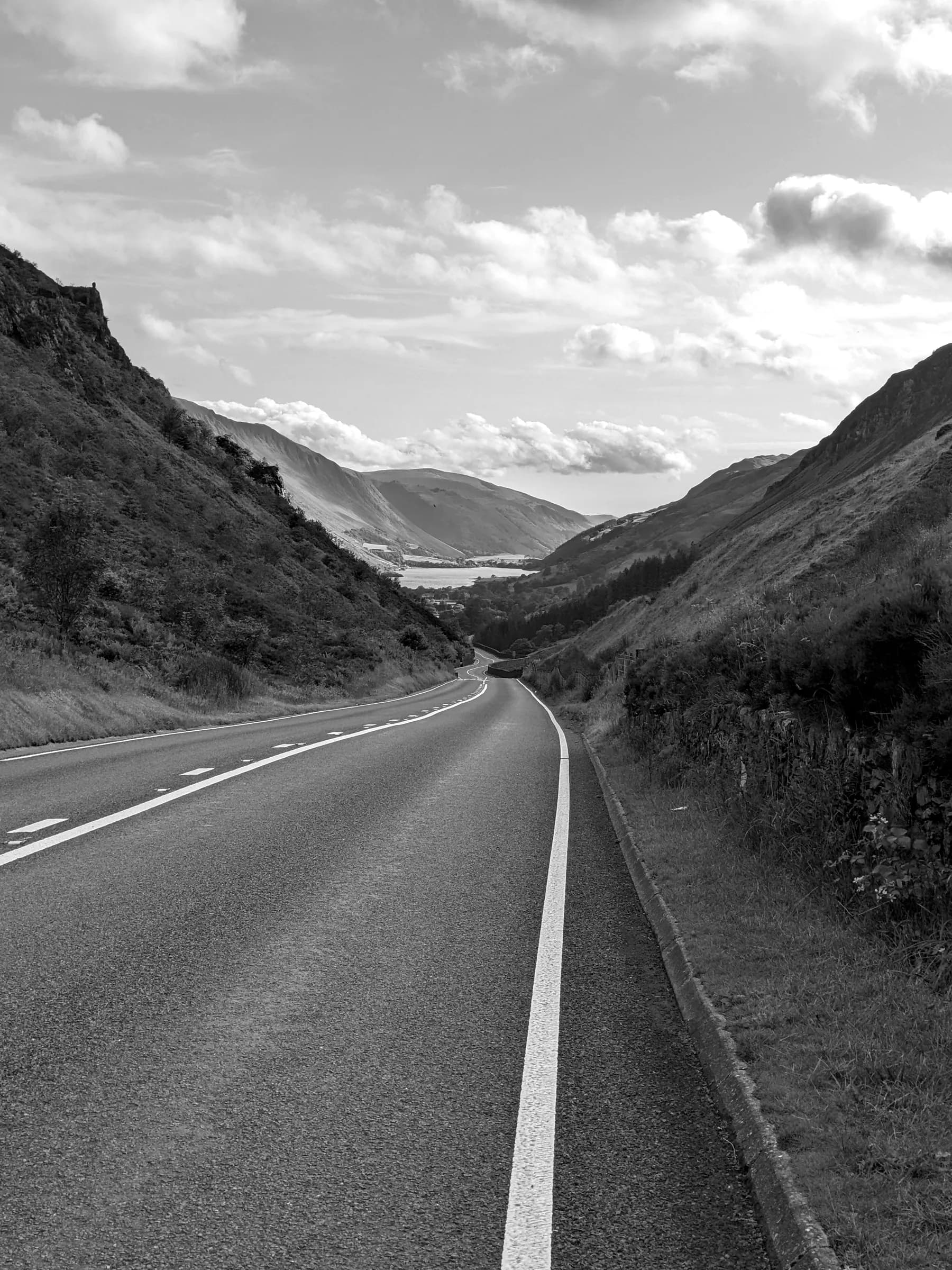
The Yorkshire Dales
Malham and Littondale
By Find a Drive, first shared in October 2026
- Distance
- 33 mi
- Driving time
- 45m
- Climbing
- 2,822 ft
- Highest point
- 1,421 ft
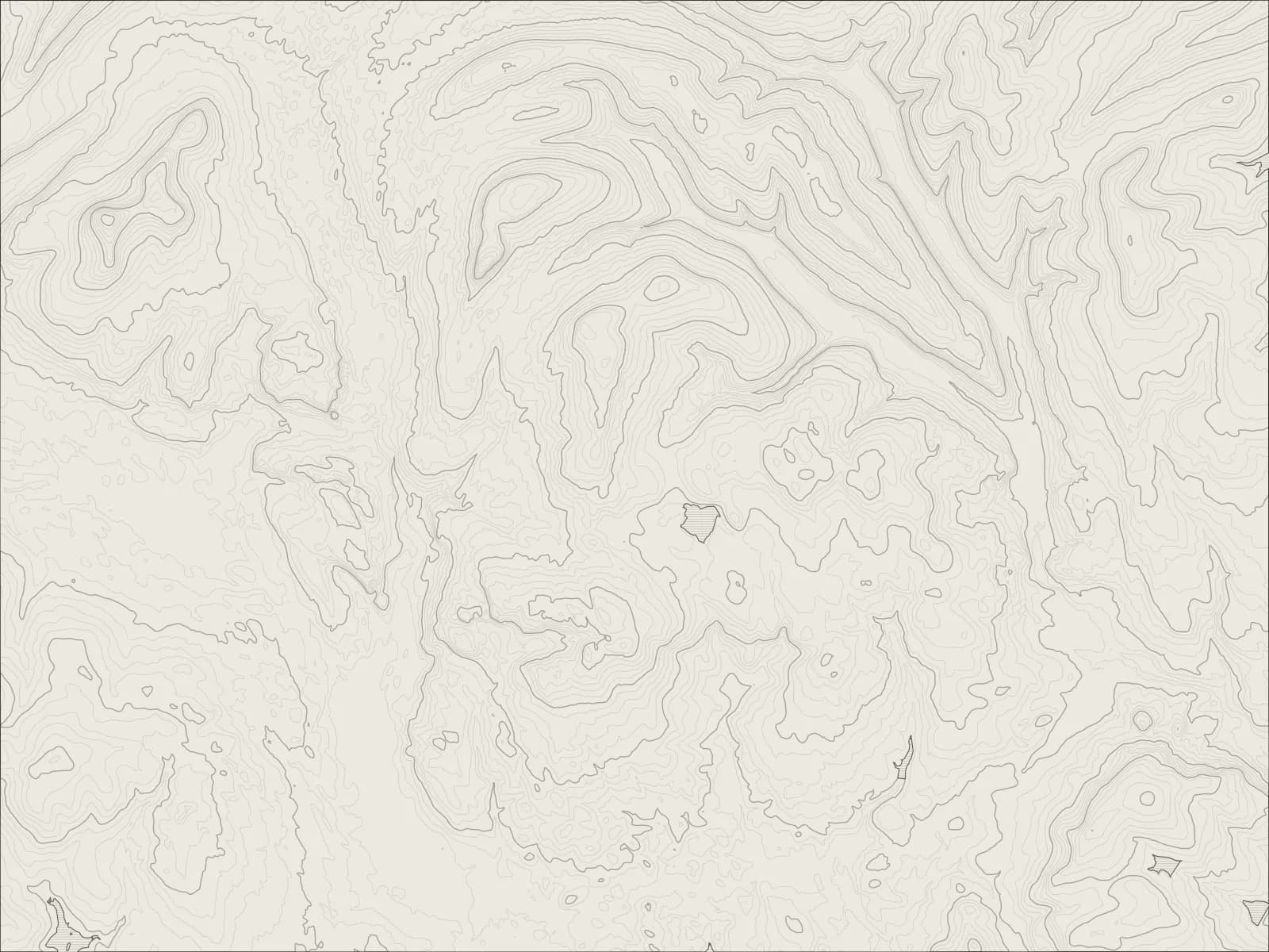
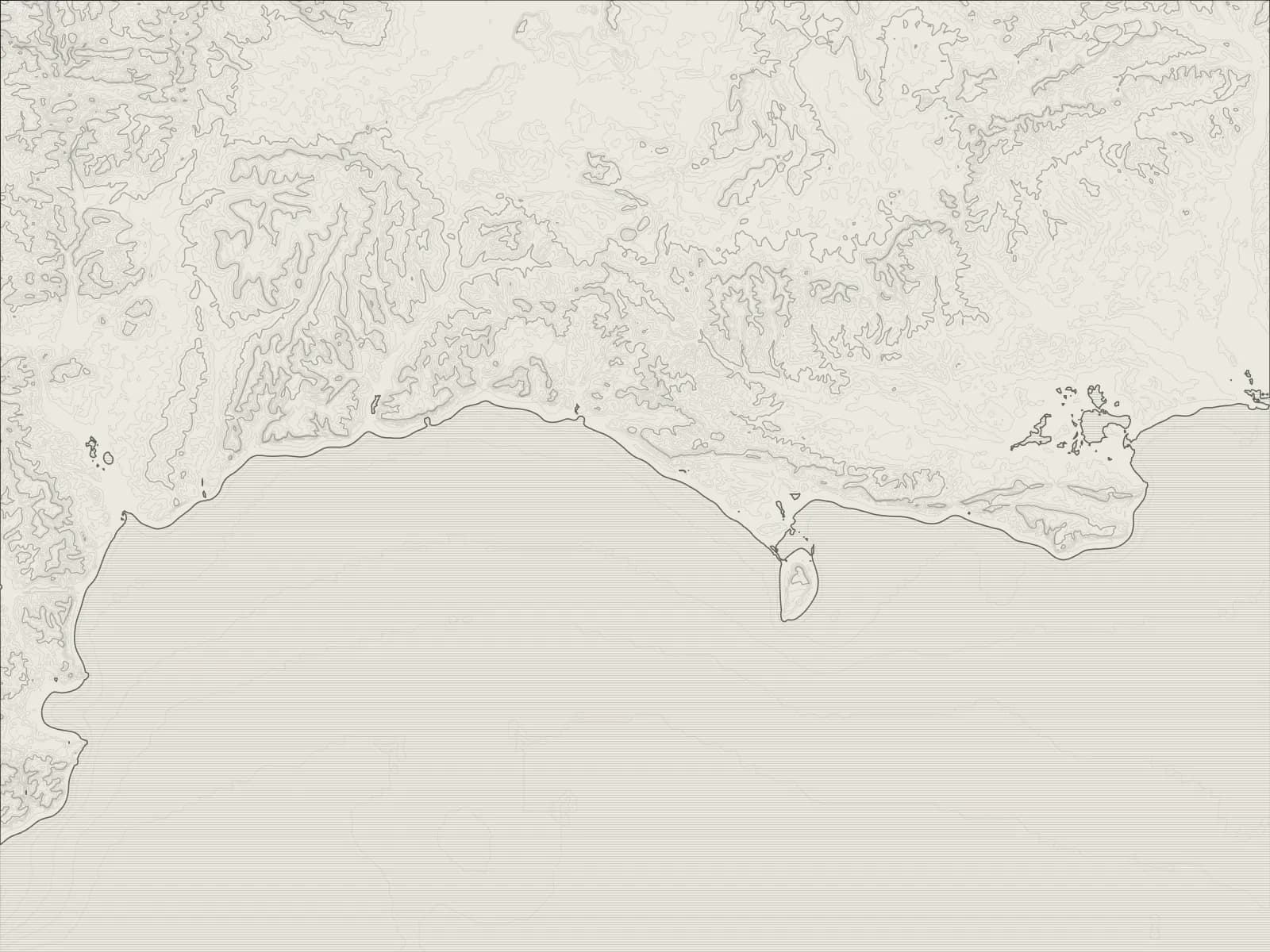
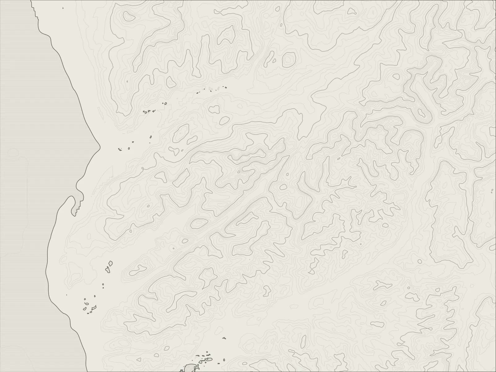
The whole drive, start to finish.Contours from open elevation data. Route © OpenStreetMap contributors.
A loop from Settle through the limestone country of the southern Dales: to Malham and its cove, up past Malham Tarn and down into Littondale, then over the shoulder of Pen-y-ghent to Stainforth.
The drive
From Settle the lanes run east through Kirkby Malham to Malham, where the cove, a curved cliff of pale limestone, is a short walk from the village, and Gordale Scar is a little way up the road.
Above the village the road climbs onto the moor past Malham Tarn, one of the highest lakes in England, and drops into Littondale at Arncliffe. The dale runs up to Halton Gill, where the road turns over the hill.
It crosses the open shoulder of Pen-y-ghent, with the hill close above, and drops to Stainforth and its waterfall, then back to Settle.
Worth knowing
- The roads over the tops are narrow and unfenced, with sheep on them.
- Malham's car park fills early on fine weekends.
- Stainforth Force is a short walk from the village, by the old packhorse bridge.
Plan your own.
Find a Drive is still being built. Get an early invite to plan, keep and share drives of your own.