The Wicklow Mountains
The Military Road and the Sally Gap
By Find a Drive, first shared in October 2026
- Distance
- 25 mi
- Driving time
- 38m
- Climbing
- 1,837 ft
- Highest point
- 1,709 ft
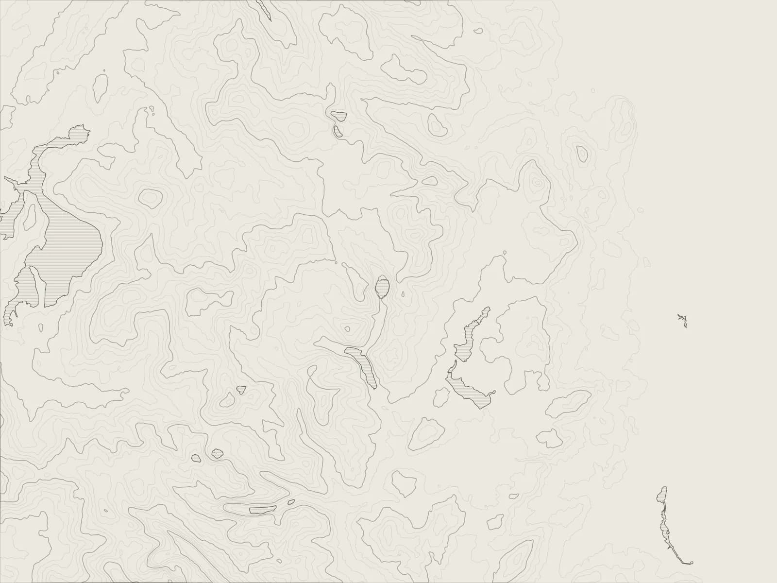
The whole drive, start to finish.Contours from open elevation data. Route © OpenStreetMap contributors.
The road the army cut through the Wicklow Mountains after the 1798 rebellion, and now the best way across them: up the Glencree valley from Enniskerry, over the bog to the Sally Gap, and down past Glenmacnass Waterfall to Glendalough.
The drive
Enniskerry is a few miles from the edge of Dublin, and the city's gone as soon as the road starts up the Glencree valley. At its head stand the old barracks, now a centre for peace and reconciliation, and nearby a small cemetery for German servicemen who died in Ireland in the two world wars.
Here the Military Road climbs onto the high bog. It was built after the 1798 rebellion, so that soldiers could reach the rebels hiding out in these hills. At the Sally Gap it crosses the road from Lough Tay, a lonely crossroads in the heather.
South of the Sally Gap the road runs along the top of Glenmacnass, then drops past the waterfall into the valley and on to Laragh. Glendalough, where St Kevin founded his monastery in the 6th century, is a mile up the road, with its round tower and its two lakes.
Worth knowing
- The Military Road is narrow across the top, with sheep grazing beside it and nothing to keep them off it. Take your time.
- It's high and exposed, and snow closes it in winter.
- Glenmacnass Waterfall has a car park beside the road, at the top of the falls.
- Glendalough's car parks fill early on fine weekends.
Plan your own.
Find a Drive is still being built. Get an early invite to plan, keep and share drives of your own.