The Yorkshire Dales
Buttertubs and Swaledale
By Find a Drive, first shared in October 2026
- Distance
- 28.5 mi
- Driving time
- 37m
- Climbing
- 2,822 ft
- Highest point
- 1,726 ft
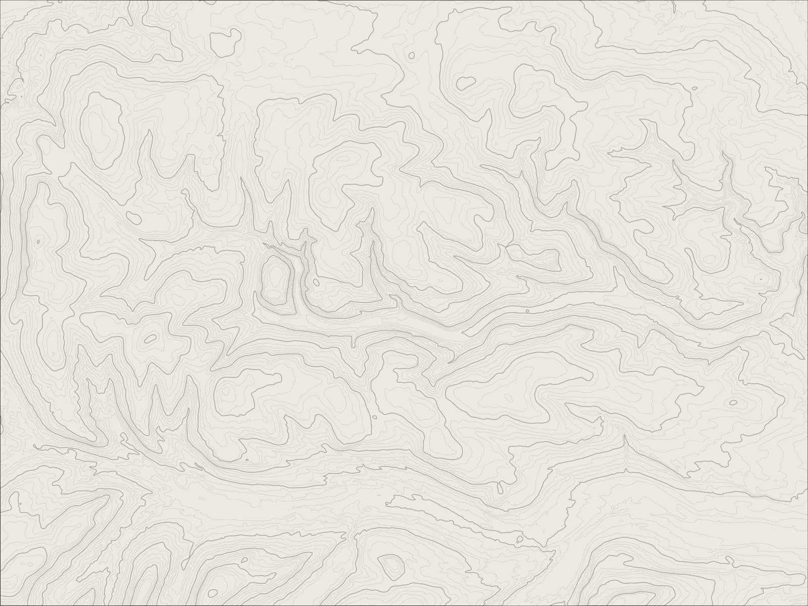
The whole drive, start to finish.Contours from open elevation data. Route © OpenStreetMap contributors.
From Hawes over the Buttertubs to Swaledale, down the dale through its stone villages to Reeth, then up Arkengarthdale to finish at the Tan Hill Inn, the highest pub in Britain.
The drive
North of Hawes the road climbs over the Buttertubs, named after the deep limestone pits beside it at the top, and drops steeply into Swaledale at Thwaite.
The B6270 follows the Swale down the dale through Muker and Gunnerside, past stone barns and walled meadows, to Reeth, which sits round a big sloping green.
From Reeth a quieter road runs up Arkengarthdale, past the old lead mines and through Langthwaite, and climbs onto the moor to the Tan Hill Inn, the highest pub in Britain, alone among the peat.
Worth knowing
- The Buttertubs is steep, with long drops beside the road in places, and it closes in snow.
- Swaledale's roads are narrow between the walls, and busy with cyclists in summer.
- The inn at Tan Hill serves food, and it's been known to be snowed in for days.
Plan your own.
Find a Drive is still being built. Get an early invite to plan, keep and share drives of your own.