West Cork
Gougane Barra and the Pass of Keimaneigh
By Find a Drive, first shared in October 2026
- Distance
- 36.9 mi
- Driving time
- 1h 01m
- Climbing
- 1,706 ft
- Highest point
- 732 ft
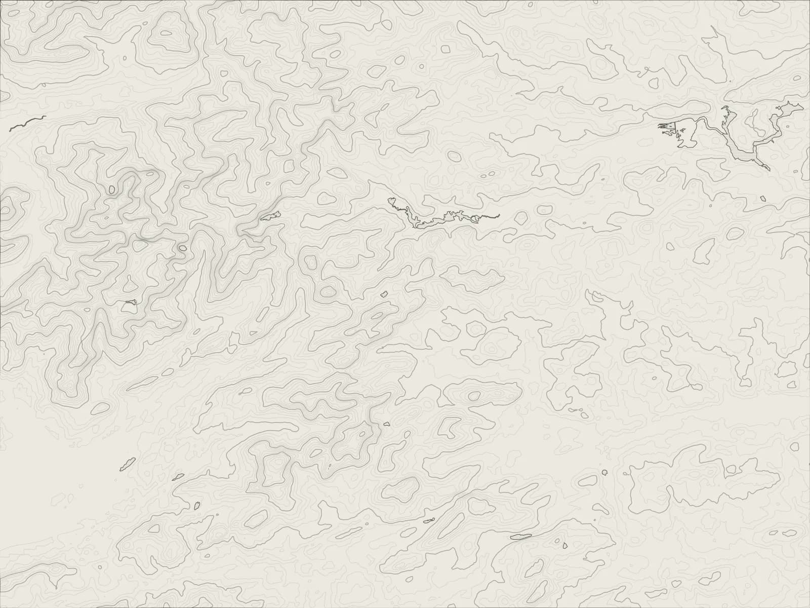
The whole drive, start to finish.Contours from open elevation data. Route © OpenStreetMap contributors.
A drive through the hills behind Bantry: over the Pass of Keimaneigh, a rocky cut through the mountains, to the lake at Gougane Barra where the River Lee begins, then along the Lee and Lough Allua to Macroom.
The drive
From Bantry the R584 heads north-east through Kealkill and up into the Shehy Mountains. At the Pass of Keimaneigh the road squeezes through a narrow cut in the rock, with crags close on both sides.
Just beyond it a lane turns off to Gougane Barra, a dark lake in a ring of mountains where St Finbarr, Cork's patron saint, is said to have founded a monastery in the 6th century. A causeway leads out to the little chapel on the island. The River Lee starts here, and the rest of the drive follows it.
Back on the R584, Ballingeary is in the Gaeltacht, where the road signs are in Irish. Past the village the South Lake Road runs along the far shore of Lough Allua, quieter and twistier than the main road, to Inchigeelagh, and the R584 carries on down the valley to Macroom.
Worth knowing
- The road through the Pass of Keimaneigh is narrow, with rock close on both sides. Take it steadily.
- Gougane Barra's lane is a dead end, so you come back out the way you went in. There's a hotel by the lake for lunch or a pot of tea.
- The forest park beyond the lake has walking trails through the woods.
Plan your own.
Find a Drive is still being built. Get an early invite to plan, keep and share drives of your own.