West Cork
Mizen Head
By Find a Drive, first shared in October 2026
- Distance
- 46.1 mi
- Driving time
- 1h 13m
- Climbing
- 2,067 ft
- Highest point
- 348 ft
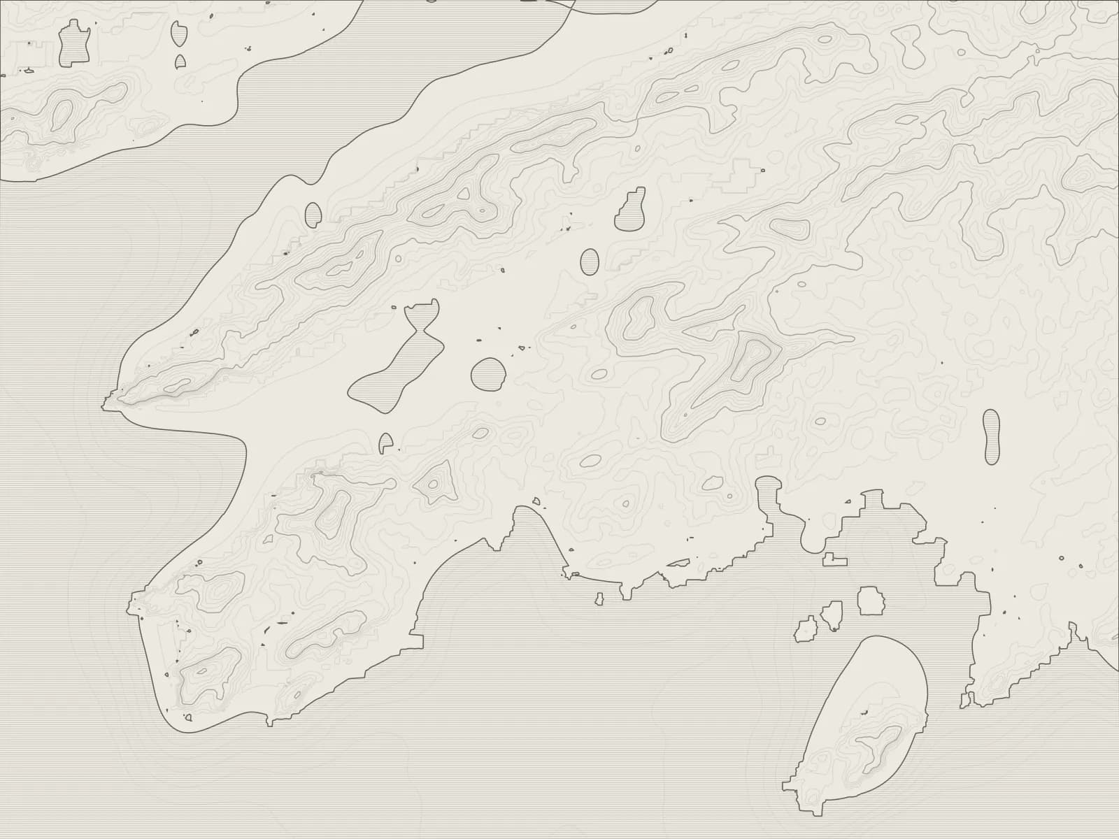
The whole drive, start to finish.Contours from open elevation data. Route © OpenStreetMap contributors.
To the south-western tip of Ireland and back: through Ballydehob and Schull, round the coves at Crookhaven and Barleycove to the signal station on Mizen Head, and home along the north shore to Durrus.
The drive
Ballydehob is the place to start, with the old twelve-arched railway bridge across its estuary. The road runs on to Schull, a sailing harbour under Mount Gabriel, and west through Goleen.
Crookhaven is at the end of a lane of its own, a village on a long, sheltered harbour that was busy with sailing ships in its day. Over the hill, Barleycove's beach lies behind high dunes, and then the road ends at Mizen Head, where the old signal station stands on an island of rock, reached by a bridge over the sea.
Back past Goleen, the R591 turns north for the far side of the peninsula and runs along Dunmanus Bay to Durrus.
Worth knowing
- The signal station on Mizen Head is a visitor centre now, with a charge to go in, and the walk out over the bridge is part of it.
- Crookhaven's lane is a dead end, so you come back out the way you went in.
- Barleycove's beach is a walk from the car park, over the dunes and a floating bridge.
Plan your own.
Find a Drive is still being built. Get an early invite to plan, keep and share drives of your own.