The Cairngorms
The Lecht
By Find a Drive, first shared in November 2026
- Distance
- 24.5 mi
- Driving time
- 30m
- Climbing
- 2,034 ft
- Highest point
- 2,096 ft
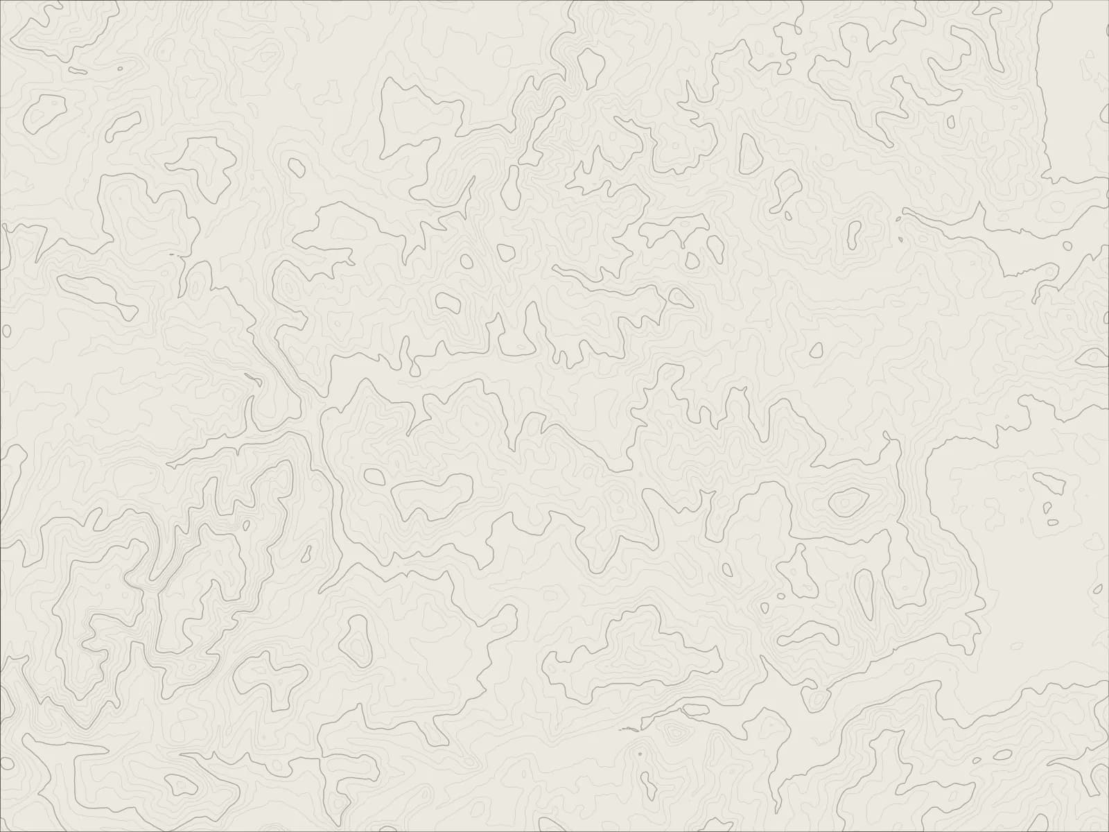
The whole drive, start to finish.Contours from open elevation data. Route © OpenStreetMap contributors.
The A939 over the Lecht: up from Tomintoul past the ski slopes, down to Corgarff Castle at Cock Bridge, then over the moors on the line of an old military road, across the Gairn at Gairnshiel and down to Ballater on the Dee.
The drive
Tomintoul sits high on the edge of the Cairngorms, one of the highest villages in the Highlands, and the road leaves it climbing. It crosses the Lecht at over 2,000 feet, past the ski tows at the top, with nothing but hills in every direction.
The far side drops steeply to Cock Bridge, where Corgarff Castle stands white against the moor. Soldiers were posted there after the Jacobite rising, and again in the 1820s to catch the whisky smugglers.
From Cock Bridge the road follows an eighteenth-century military road over the moors, crosses the River Gairn on the old humpbacked bridge at Gairnshiel, and comes down through the trees to Ballater, on Royal Deeside.
Worth knowing
- The Lecht is steep, 20% in places, and it's often the first road in Scotland to close in snow, with gates to shut it at either end.
- Gairnshiel's bridge is narrow and humped, with room for one car at a time.
- Deer and sheep wander onto the road, and there's little between the villages, so set off with fuel.
Plan your own.
Find a Drive is still being built. Get an early invite to plan, keep and share drives of your own.