The Yorkshire Dales
Fleet Moss and Park Rash
By Find a Drive, first shared in October 2026
- Distance
- 31.1 mi
- Driving time
- 1h 00m
- Climbing
- 2,657 ft
- Highest point
- 1,923 ft
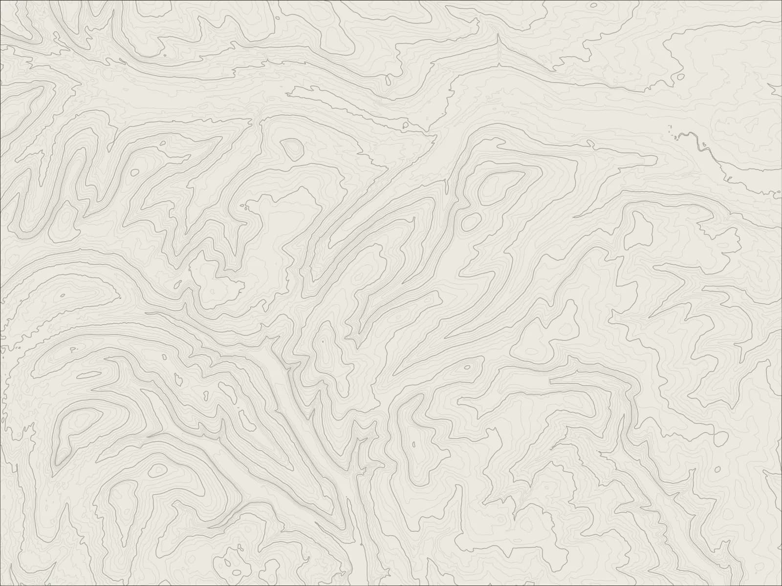
The whole drive, start to finish.Contours from open elevation data. Route © OpenStreetMap contributors.
Over the highest road in Yorkshire and down Langstrothdale, then up Park Rash's hairpins from Kettlewell and over into Coverdale, to finish at Richard III's castle in Middleham.
The drive
South of Hawes the road climbs straight up onto Fleet Moss, the highest paved road in Yorkshire, and drops into Langstrothdale at Oughtershaw, near where the Wharfe begins. It follows the young river down past Hubberholme, with its old church and its inn, to Buckden and Kettlewell.
From Kettlewell, Park Rash climbs out of Wharfedale in a run of hairpins as steep as 1 in 4, then crosses the moor and runs down the length of Coverdale, one of the quietest dales of all, to Carlton.
At the foot of Coverdale is Middleham, where Richard III spent his boyhood in the castle, and where racehorses still train on the gallops above the town.
Worth knowing
- Fleet Moss and Park Rash are steep, narrow and open to the weather, and both close in snow.
- Park Rash's hairpins are tight. Take them slowly, in a low gear.
- Sheep graze beside the unfenced roads on the tops. They have right of way, more or less.
Plan your own.
Find a Drive is still being built. Get an early invite to plan, keep and share drives of your own.